Search results
Monday | July 18
October 3, 2011 by admin
Filed under InnerSea Discoveries
Thomas Bay & Baird Glacier
“Everybody needs beauty as well as bread, places to play in and pray in, where nature may heal and cheer and give strength…” -John Muir
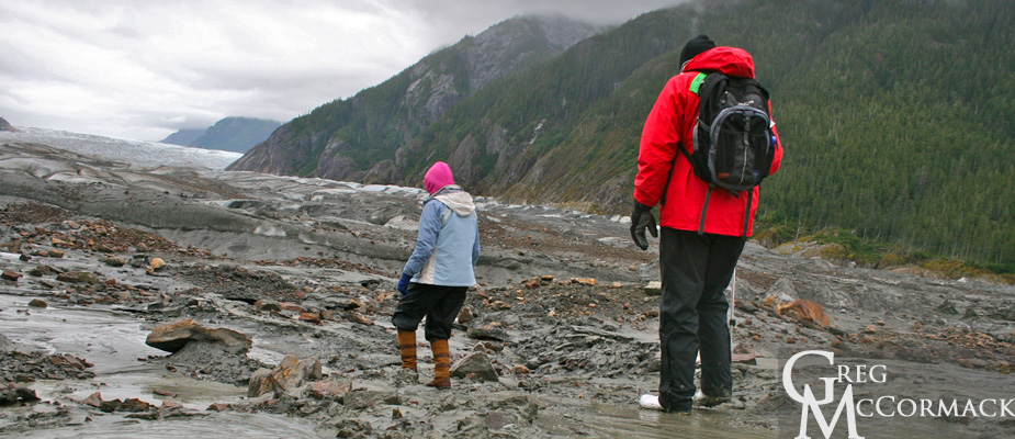
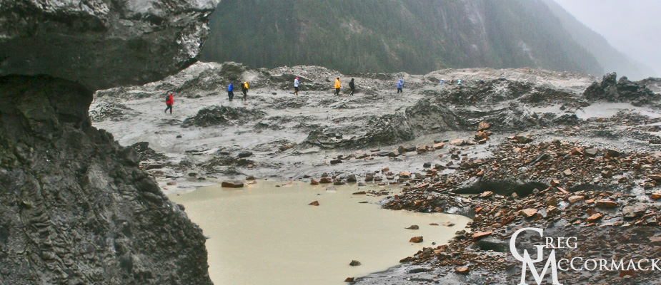
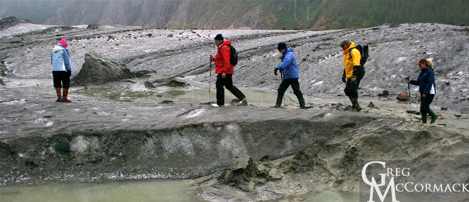
Today (despite the threatening clouds and persistant drizzle) was a fabulous day for a hike on the glacier. Any day on a river of ice is adventurous and all of our guests that joined us had a blast.
The Baird Glacier is so intriguing because of the numerous features that completely baffle the mind as to how they were formed.
Case in point. Partway up the snout of the glacier are a series of longitudinal ablation crevasses that have closed back up and look like sutures on a skull. Pyramids of ice burst up and through these visible fissures and they are completely covered in sand. Sand just inches in thickness, often wet due to the melting ice that lies beneath.
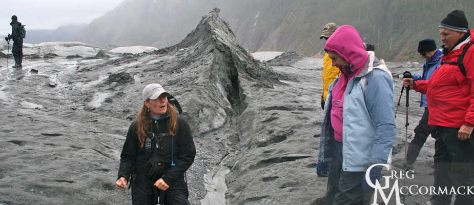
Could it be the result of a jokuhlaup or glacial outburst flood? The pressure of the water pushing up through old crevasses in the ice? Who knows? It is fun to theorize.
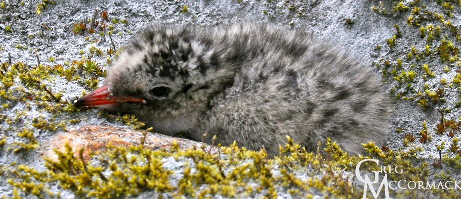
We do see a baby tern chick that hides and stays hidden behind a cobblestone.
Other sights:
• a push or terminal moraine
• moulins on the ice surface that look like blue swirling toilet bowls
• a Semi-Palmated Plover that shows us the “broken-wing” tactic
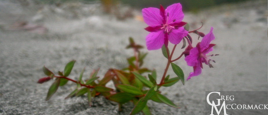
• soft, vibrant green mosses with islands of foliose lichens, pinkish blossoms of the Dwarf Fireweed or River Beauty (Epilobium latifolium)
• 100’s of 1000’s of river-rounded granitic boulders in front of the glacier and angular, iron-rich rocks on top of the glacier
• Arctic Terns dropping down to the waters surface to collect inch-long krill; others fly back to chicks holding fish in their bills
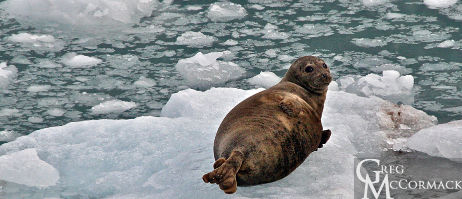
• Harbor seals plying the waters in front of the river
The Baird Glacier comes off of the Stikine Icefield, an area that is approximately 100 miles long from the Whiting River in the north to the Stikine River in the south and about 30 miles wide from tidewater up and over the crest of the Coast Range past the international boundary into British Colombia, Canada.
Our trip upriver was very eventful. Melt-waters of raging Class II rapids. Our larger, heavier boat with 8 passengers barely makes headway. Both boats hit rocks, doing damage to the props. The banks of the river are loosely sorted boulders piled up high and it’s difficult to make progress upriver. For 5 minutes—at full throttle—we make about 200 feet of progress and finally make it to a safe landing spot.
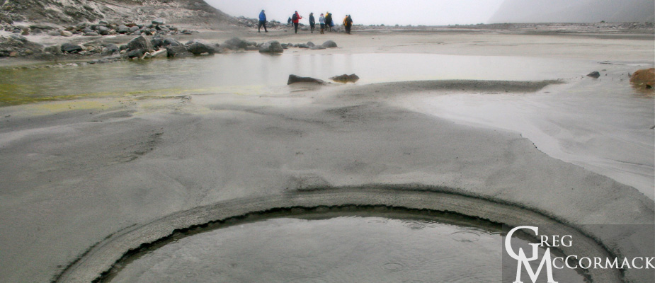
We hike about a kilometer to the terminal moraine directly in front of the glacier. The remnants of broken pieces of ice create boot-sucking mud pits that are best to avoid. Curiosity always makes a few folks push down with just the right amount of pressure on a mud spot to create liquefaction.
Seeing geology in action is what the concept of uniformitarianism is all about, i.e. “the present is the key to the past”. This is what makes the study of the earth so fascinating. One can deduce what is visible in the here and now to landscapes and processes that have been going on for millennia, periods, eras and eons of time.
Friday | July 15
September 26, 2011 by admin
Filed under InnerSea Discoveries
Endicott Arm & Dawes Glacier
“The earth, that is sufficient
I do not want the constellations any nearer,
I know they are very well where they are,
I know they suffice for those who belong to them.”
–Walt Whitman, Leaves of Grass, “Song of the Open Road” (1855)
We lift anchor at 0500 at Wood Spit and enter Holkham Bay, the outlet of both the Tracy and Endicott Arm fiords. We take the route up the Endicott in a thick fog. I assure guests that we should see a clearing close to the glaciers. High pressure is usual near the icefield surrounding the peaks of the Coast Range.
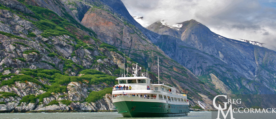
The cold, heavy air sinks down and pushes away the Low Pressure system from the face of the tidewater glacier. As soon as we get within a couple of miles, the fog lifts and we see blue skies and sunshine!
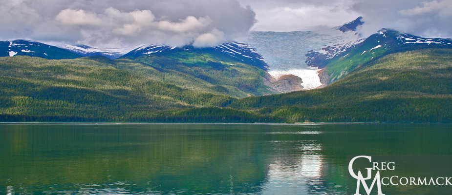
Very little brash ice is seen…mainly growlers with only a few bergy bits and ice-bergs near the spectacular Dawes Glacier. We disembark for small boat tours and stop about ¼-mile away from the 200-foot face of the tidewater glacier. Several small calvings produce the surprisingly loud “white thunder”. The Tlingit Indians had a tribe named after the sound made by the dropping of ice: Sumdum.
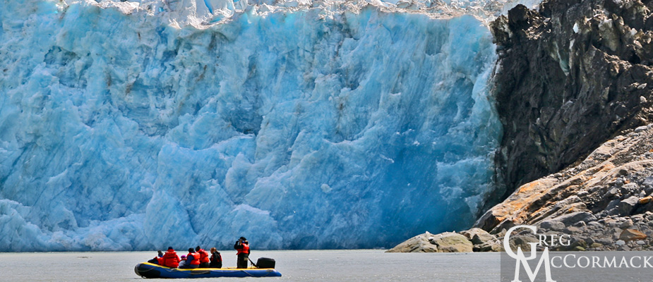
We enjoy seeing Arctic Terns diving down for small fish or resting on growlers. Seals were seen frolicking in the white-water of cascading waterfalls.
Two Tongass National Forest Service wilderness kayak rangers paddle over and come aboard for answering questions. Kevin Hood talks about the history of the Wilderness Act and answered questions about harbor seal census counts.
The most amazing thing Ranger Hood shared during his excellent talk was the 2009-2010 studies of the Dawes Glacier. Laser altimetry showed that the Dawes Glacier had thinned or deflated 70 meters in one year, making it one of the fastest wastage and melting areas in the world. Change is happening at a dramatic pace here in the 100-mile long Stikine Icefield!
After dropping the kayaks and the rangers off of our swim-step aft of the vessel, we search hard along the shoreline for four-legged furry animals. We see hundreds of Surf Scoters, otherwise known as the “poor-mans’ puffin” for the similar appearance to the Tufted Puffin. The latter is typically found nesting on protected islands closer to the Gulf of Alaska or in Glacier Bay National Park and Preserve. On the north shoreline, we see the beautiful blooms of the fireweed.
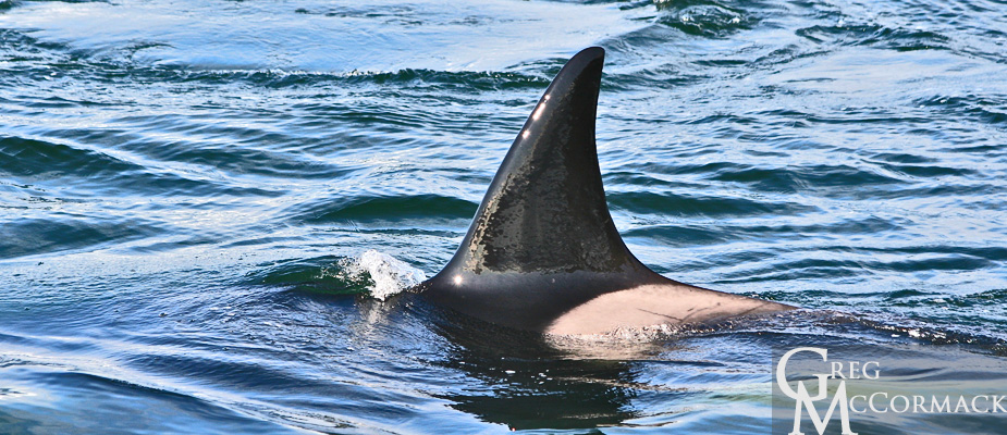
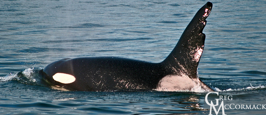
Outside of the Endicott Arm in Stephens Passage, we are lucky to find a pod of killer whales.
We are happy to see many kinds of behavior such as spy-hopping, lob-tailing and breaching.
A young orca was seen surfacing next to its mother.
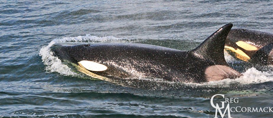
We suspect these orcas are residents as it looks like they are surrounding and echo-locating for fish. We watch them for quite some time as they happen to be swimming north at the same slow pace that we are motoring.
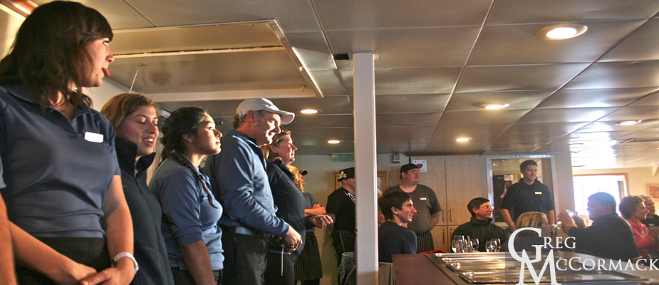
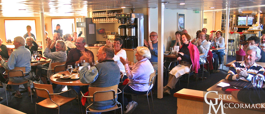
Anchorage for this evening is just outside of the Taku Inlet. It is the Captains’ Dinner tonight and Marce introduces all of the crew to the rousing applause of our friendly guests.
A bit of sadness is felt as it was time to pack suitcases after a slide show presentation in the lounge shows all of the highlights over the last week of cruising.
is bustling this morning as we dock alongside the pier adjacent to large cruise ships and a float plane dock
A local tells me that the recent U.S. Census had between 5 and 6,000 people moving out of the capital city of Juneau, a drop from around 31,000 to 25k over the last 10 years.
Crew work hard in anticipation of another group that will board in less than 8 hours.
Sunday | July 3rd
September 14, 2011 by admin
Filed under InnerSea Discoveries
“Never before this had I been embosomed in scenery so hopelessly beyond description. Tracing shining ways through fjord and sound, past forests and waterfall, islands and mountains and far azure headlands, it seems as if surely we must at length have reached the very paradise of the poets, the abode of the blessed.” –John Muir
At 06:00 the anchor is lifted and the Wilderness Discoverer begins its journey up the 30-mile long Tracy Arm fiord. I like to tell folks that we are all taking a trip back 15,000 years to the Pleistocene Epoch to see what much of the northern latitudes on Earth were like at the southernmost extent of the Wisconsin era glaciation. Basically a person could strap on some skis and continue on ice from Tracy Arm south to present-day Olympia, Washington and head then head east to Cape Cod, Massachusetts.
Tracy Arm—Fords Terror was designated a wilderness area in 1980 with President Jimmy Carter’s passage of the Alaska National Interest Lands Conservation Act (ANILCA). Prior to this it had been designated a National Forest Scenic Area in 1960 and 10 years later a Wilderness Study Area in recognition of the opportunities for solitude and its dramatic beauty.
It was President Lyndon Johnson that signed the Wilderness Act in September of 1964.
It states:
“In order to assure that an increasing population, accompanied by expanding settlement and growing mechanization, does not occupy and modify all areas within the United States and its possessions, leaving no lands designated for preservation and protection in their natural condition, it is hereby declared to be the policy of the Congress to secure for the American people of present and future generations the benefits of an enduring resource of wilderness.”
Everybody seems to appreciate being a visitor to this wilderness as they are out on decks to soak-in the scenery, admire ice-bers and to look for wildlife.
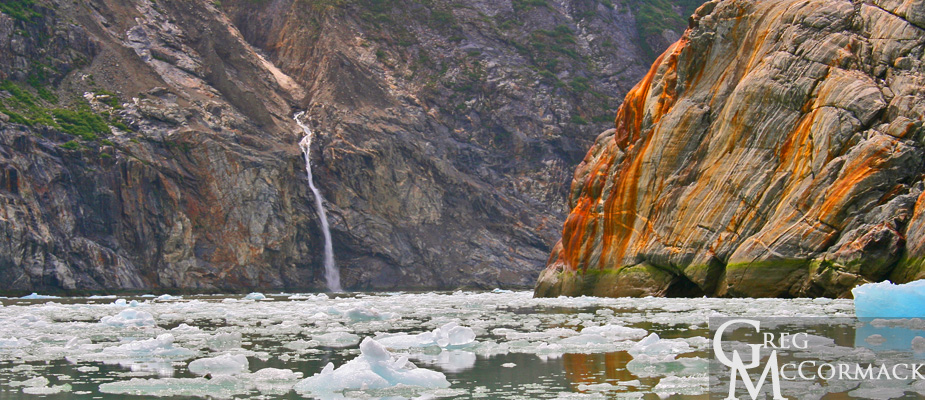
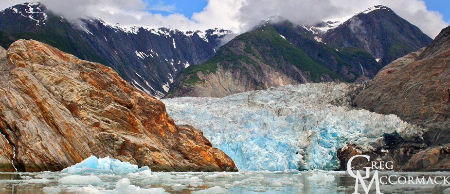
We offer small boat tours. Adventure-seekers enjoy close-up views of the Sawyer Glacier calving ice and the dramatic mountain scenery. I point out the waterfall, located 1.5 miles away from the face of the Sawyer Glacier. When I first started leading folks here in the early to mid-90’s, the glacier was close to this cataract.
People are amazed to see how far it has receded and how much thinning of the glacier has taken place. The barren rock and trim-line of vegetation high up above the recently de-glaciated rubble landscape are reminders of a changing climate.
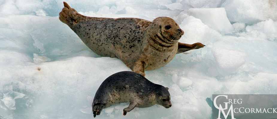
Harbor seals are spotted on the ice “growlers” or brash ice. Some are seen with pups that were recently born. It takes 6-weeks before pups are weaned off of the mothers milk and are on their own to search for food.
Arctic terns ply the waters, catching schooling fish for their developing young that await in the rock gardens bordering the fiord. Gulls fly back an forth in front of the glacier waiting for the next calving that will churn-up small fish and shrimp for easy-pickings.
Our afternoon and evening is spent looking for and watching whales in Frederick Sound.


