Search results
where is gmack now? innersea discoveries expedition week 10
It has been an exciting week on the InnerSea Discoveries Expedition Click Links Below to read daily updates from Week 10 of the Trip:
July 2 – July 9, 2011
Saturday | July 2
TURNOVER DAY = SWABBING THE DECKS
Sunday | July 3
GLACIER CALVING, SEALS & WHALES
Monday | July 4
HAPPY 4TH OF JULY, EVERYBODY!
Tuesday | July 5
MOOSE PELLETS
Wednesday | July 6
CHIEF SHAKES LODGE
SNORKELING AND BANJO PLAYING
Friday | July 8
CLAM-EATING BEAR
Saturday | July 9
“WE NEED THE GREGgle APP!”
Monday | July 4th
September 14, 2011 by admin
Filed under InnerSea Discoveries
“The larger the island of knowledge, the longer the shoreline of wonder.” –Ralph W. Sockman
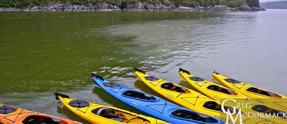
We drop the kayaks early in the morning so that guests can get out before breakfast to paddle. I am reminded of the “meeting of the waters”, a famous spot I’ve seen where the Amazon River meets the Rio Negro in Brazil. It is an area where a very distinct demarcation occurs of clear, beer-colored Rio Negro waters meet the muddy brown waters of the Amazon River.
Here in Thomas Bay, a similar phenomenon exists. The “rock flour” of suspended silt from the Baird Glacier melt-waters is mocha-colored in comparison to the pea-green, plankton-rich waters of nearby Scenic Cove.
Expedition Guide Megan Nelson and I are dropped off a mile below the normal drop-off spot where an earlier group made it just a half-hour earlier. Our small boat drivers blame this on a strong current and very low tide. (At least we aren’t skunked on doing the expedition to the glacier. Our sister ship M/V Wilderness Adventurer could not make it one time this summer due to low tides and katabatic or gravity winds descending off of the glacier.)
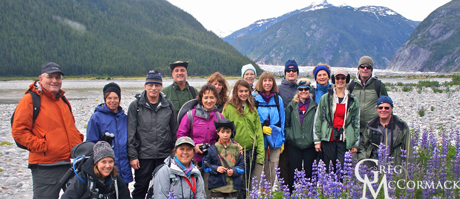
The challenges make this a real adventure. At first, the way was difficult, with boot-sucking muds on an extremely low tide with very little elevation profile gain. We finally have it a bit easier as we make it above the mud to a sandy area with a big patch of blooming lupines. We take a group photo and continue another 45 minutes to our normal drop-off spot on the other side of a shallow clear-running stream.
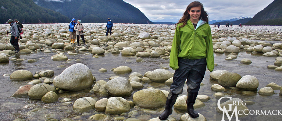
What made this challenging were the 10’s of 1000’s of rounded granitic boulders. Despite the relatively short distance involved, we continued forward because an incoming tide is not a good thing on mud flats in Alaska. Our determined group hiked across the boulder garden stream and continued across moss and lichen gardens to the face of the glacier.
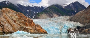
From the snout, we amble onto the ice and continue up a ¼-mile onto the Baird glacier. We snap many photos of the bizarre surface features on the glacier and get a few shots that might potentially be family Christmas photos.
I thoroughly enjoy it when folks are able to endure and enjoy supreme physical challenges. The rewards are great and we hooted and laughed and were bewildered by the mysterious nature of the glacier snout. We see glacier tables, where rocks are suspended on a pedestal of ice. We also see some ice pillars covered with sands and ablation zone crevasses and foliated ice.
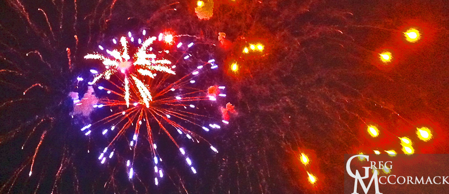
Back aboard the ship, we figure Thomas Bay is about a 20-kilometer distance from the Southeast Alaskan town of Petersburg. Our captain and expedition leader decide to make a run to town to see the firework display that takes place at 11 p.m. (when it finally gets dark) at the local high school. We arrive with plenty of time to explore the town.
I meet up with my Alaska Whale Foundation buddy Dr. Fred Sharpe on his boat the R/V Evolution and we play some disc golf on our way up to the high school playing fields. Despite an incessant drizzle, the fireworks show was fabulous and viewers were very happy with the organizers of this 4th of July.
Fred gave one of his prized glow-in-the-dark Frisbee discs to a local on our way back to the ship.
We are all happy for the diversion and get to bed after midnight as the ship makes its way back to Thomas Bay for another full day of adventures on the 5th of July.
Thursday | June 30th
September 10, 2011 by admin
Filed under InnerSea Discoveries
Frederick Sound
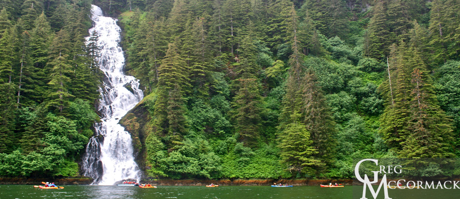
Last night we motored into this most stunning of bays on Baranof Island. The majority of guests decide to kayak up the fiord to the splendid waterfall that seems to fall out of the sky down a precipice covered in conifers. Just beyond at the head of the bay on about two hundred acres of mudflats and meadows, a grizzly bear feeds on grasses. Kayakers line themselves along the edge of the river opposite the bear. A bald eagle is perched on a stump, providing another photographic opportunity.
What is the difference between a BROWN bear and a GRIZZLY bear, you may ask? They are the same species, Ursus arctos. The coastal grizzly is called a brown bear. It is significantly larger than the interior grizzly bear because of diet and climate.
Salmon are in abundance along the coast of Alaska. Because the waters of the Gulf of Alaska warm the air enough to moderate the temperatures along the coast, brownies can stay active a couple of months longer than the interior grizzlies. The latter have to deal with temperatures that drop well below freezing, triggering the hibernation response.
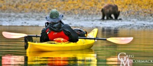
We spot a brown bear on the flats and kayak upriver a few hundred meters to get a better look. An eagle perched on a beached stump above the mud-flats was a favorite photo-subject for kayakers.
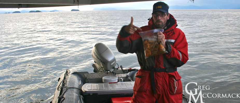
Later in the day, I get on the marine radio and make a call to the Alaska Whale Foundation. I talk with world-renowned humpback whale researcher Dr. Fred Sharpe. He says that he is available to join us for a talk aboard the ship! We meet him in Frederick Sound and he motors over in his small Zodiac. Fred and I have been friends for over 20 years. He answers lots of questions and entertains guests in the lounge with his humor and knowledge.
After just a half-hour, the swells on this inland sea magically disappear and become glass-like. Humpback whales are spotted “around the clock” in all directions from the ships decks. We estimate at least two dozen whales blowing from just a hundred meters to a couple of kilometers away.
Before disembarking, Fred mentions the influx of nutrients and plankton as a result of the persistent winds we had throughout the morning. Frederick Sound is in the middle of a nutrient-rich geographical area. The plankton feed the schooling fish which in turn feed the leviathans.


