Search results
Monday | July 18
October 3, 2011 by admin
Filed under InnerSea Discoveries
Thomas Bay & Baird Glacier
“Everybody needs beauty as well as bread, places to play in and pray in, where nature may heal and cheer and give strength…” -John Muir
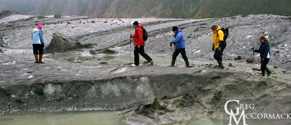
Today (despite the threatening clouds and persistant drizzle) was a fabulous day for a hike on the glacier. Any day on a river of ice is adventurous and all of our guests that joined us had a blast.
The Baird Glacier is so intriguing because of the numerous features that completely baffle the mind as to how they were formed.
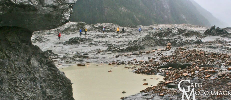
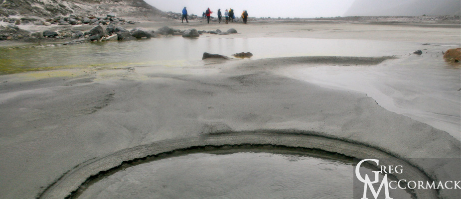
Case in point. Partway up the snout of the glacier are a series of longitudinal ablation crevasses that have closed back up and look like sutures on a skull. Pyramids of ice burst up and through these visible fissures and they are completely covered in sand. Sand just inches in thickness, often wet due to the melting ice that lies beneath.
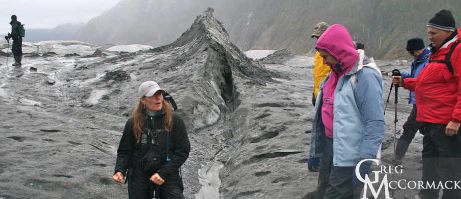
Could it be the result of a jokuhlaup or glacial outburst flood? The pressure of the water pushing up through old crevasses in the ice? Who knows? It is fun to theorize.
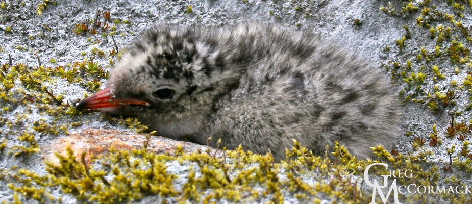
We do see a baby tern chick that hides and stays hidden behind a cobblestone.
Other sights:
• a push or terminal moraine
• moulins on the ice surface that look like blue swirling toilet bowls
• a Semi-Palmated Plover that shows us the “broken-wing” tactic
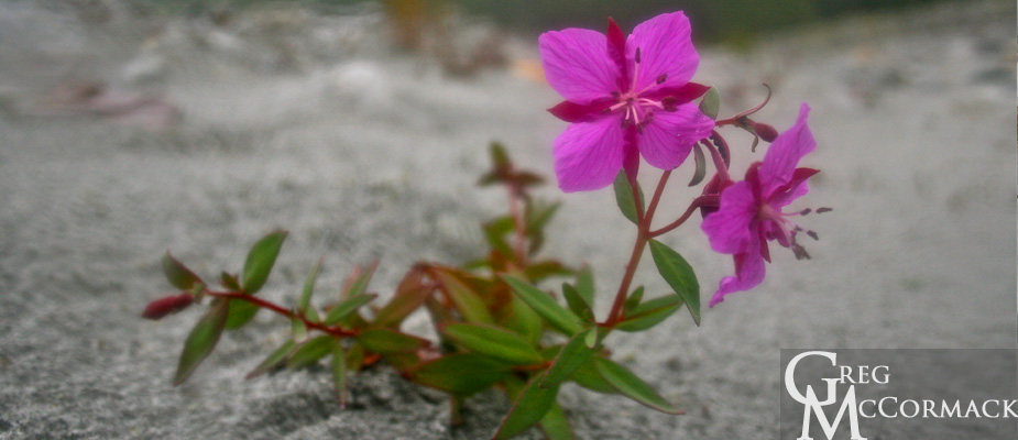
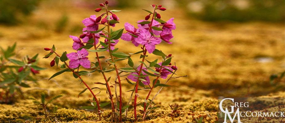
• soft, vibrant green mosses with islands of foliose lichens, pinkish blossoms of the Dwarf Fireweed or River Beauty (Epilobium latifolium)
• 100’s of 1000’s of river-rounded granitic boulders in front of the glacier and angular, iron-rich rocks on top of the glacier
• Arctic Terns dropping down to the waters surface to collect inch-long krill; others fly back to chicks holding fish in their bills
• Harbor seals plying the waters in front of the river
The Baird Glacier comes off of the Stikine Icefield, an area that is approximately 100 miles long from the Whiting River in the north to the Stikine River in the south and about 30 miles wide from tidewater up and over the crest of the Coast Range past the international boundary into British Colombia, Canada.
Our trip upriver was very eventful. Melt-waters of raging Class II rapids. Our larger, heavier boat with 8 passengers barely makes headway. Both boats hit rocks, doing damage to the props. The banks of the river are loosely sorted boulders piled up high and it’s difficult to make progress upriver. For 5 minutes—at full throttle—we make about 200 feet of progress and finally make it to a safe landing spot.
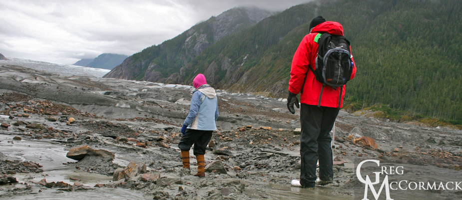
We hike about a kilometer to the terminal moraine directly in front of the glacier. The remnants of broken pieces of ice create boot-sucking mud pits that are best to avoid. Curiosity always makes a few folks push down with just the right amount of pressure on a mud spot to create liquefaction.
Seeing geology in action is what the concept of uniformitarianism is all about, i.e. “the present is the key to the past”. This is what makes the study of the earth so fascinating. One can deduce what is visible in the here and now to landscapes and processes that have been going on for millennia, periods, eras and eons of time.
where is gmack now? innersea discoveries expedition week 10
It has been an exciting week on the InnerSea Discoveries Expedition Click Links Below to read daily updates from Week 10 of the Trip:
July 2 – July 9, 2011
Saturday | July 2
TURNOVER DAY = SWABBING THE DECKS
Sunday | July 3
GLACIER CALVING, SEALS & WHALES
Monday | July 4
HAPPY 4TH OF JULY, EVERYBODY!
Tuesday | July 5
MOOSE PELLETS
Wednesday | July 6
CHIEF SHAKES LODGE
SNORKELING AND BANJO PLAYING
Friday | July 8
CLAM-EATING BEAR
Saturday | July 9
“WE NEED THE GREGgle APP!”
Monday | July 4th
September 14, 2011 by admin
Filed under InnerSea Discoveries
“The larger the island of knowledge, the longer the shoreline of wonder.” –Ralph W. Sockman
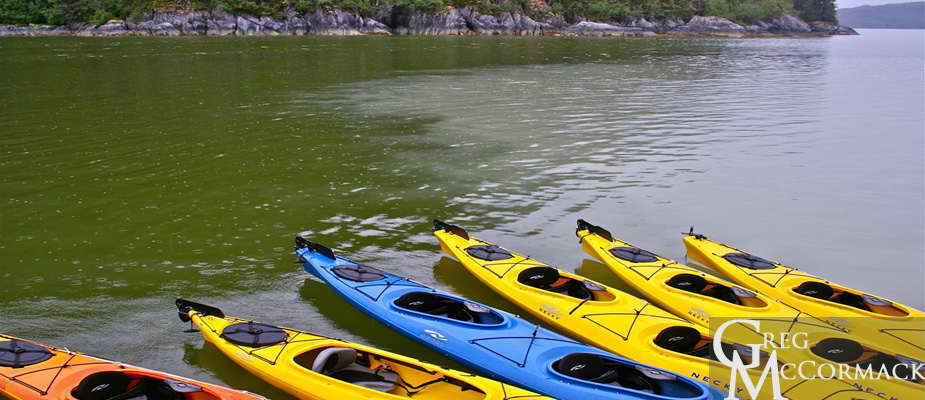
We drop the kayaks early in the morning so that guests can get out before breakfast to paddle. I am reminded of the “meeting of the waters”, a famous spot I’ve seen where the Amazon River meets the Rio Negro in Brazil. It is an area where a very distinct demarcation occurs of clear, beer-colored Rio Negro waters meet the muddy brown waters of the Amazon River.
Here in Thomas Bay, a similar phenomenon exists. The “rock flour” of suspended silt from the Baird Glacier melt-waters is mocha-colored in comparison to the pea-green, plankton-rich waters of nearby Scenic Cove.
Expedition Guide Megan Nelson and I are dropped off a mile below the normal drop-off spot where an earlier group made it just a half-hour earlier. Our small boat drivers blame this on a strong current and very low tide. (At least we aren’t skunked on doing the expedition to the glacier. Our sister ship M/V Wilderness Adventurer could not make it one time this summer due to low tides and katabatic or gravity winds descending off of the glacier.)
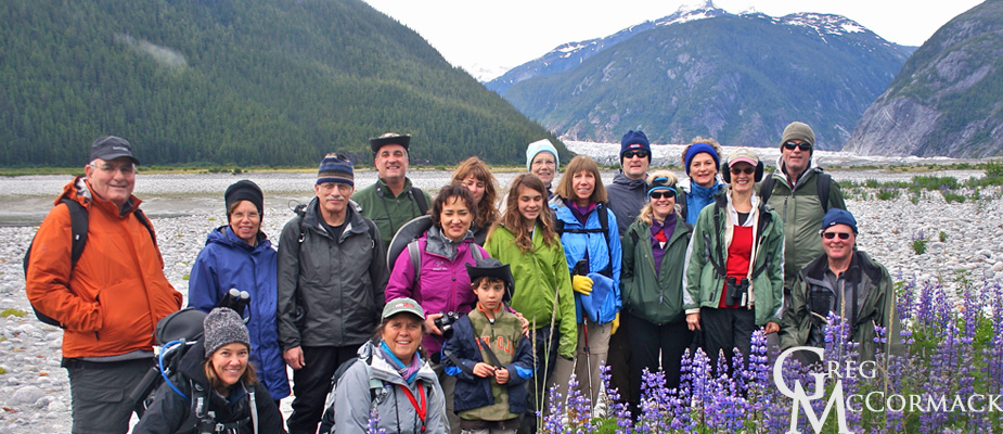
The challenges make this a real adventure. At first, the way was difficult, with boot-sucking muds on an extremely low tide with very little elevation profile gain. We finally have it a bit easier as we make it above the mud to a sandy area with a big patch of blooming lupines. We take a group photo and continue another 45 minutes to our normal drop-off spot on the other side of a shallow clear-running stream.
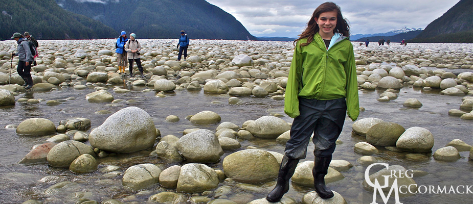
What made this challenging were the 10’s of 1000’s of rounded granitic boulders. Despite the relatively short distance involved, we continued forward because an incoming tide is not a good thing on mud flats in Alaska. Our determined group hiked across the boulder garden stream and continued across moss and lichen gardens to the face of the glacier.
From the snout, we amble onto the ice and continue up a ¼-mile onto the Baird glacier. We snap many photos of the bizarre surface features on the glacier and get a few shots that might potentially be family Christmas photos.
I thoroughly enjoy it when folks are able to endure and enjoy supreme physical challenges. The rewards are great and we hooted and laughed and were bewildered by the mysterious nature of the glacier snout. We see glacier tables, where rocks are suspended on a pedestal of ice. We also see some ice pillars covered with sands and ablation zone crevasses and foliated ice.
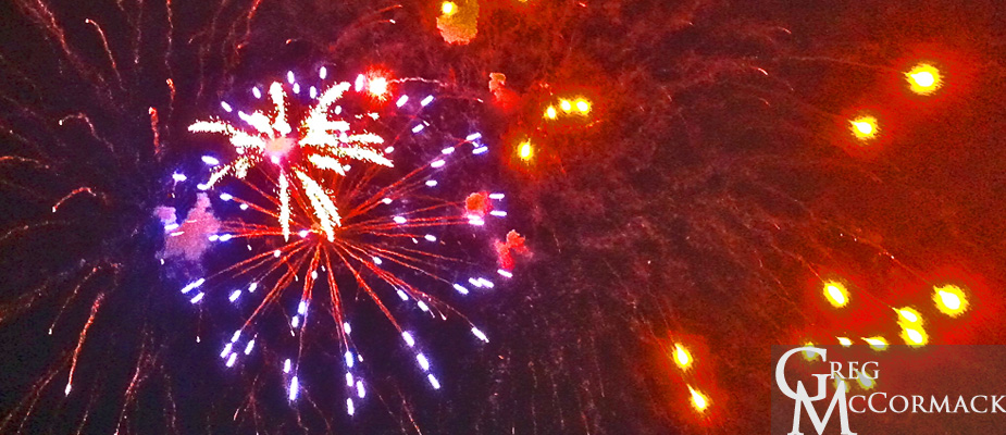
Back aboard the ship, we figure Thomas Bay is about a 20-kilometer distance from the Southeast Alaskan town of Petersburg. Our captain and expedition leader decide to make a run to town to see the firework display that takes place at 11 p.m. (when it finally gets dark) at the local high school. We arrive with plenty of time to explore the town.
I meet up with my Alaska Whale Foundation buddy Dr. Fred Sharpe on his boat the R/V Evolution and we play some disc golf on our way up to the high school playing fields. Despite an incessant drizzle, the fireworks show was fabulous and viewers were very happy with the organizers of this 4th of July.
Fred gave one of his prized glow-in-the-dark Frisbee discs to a local on our way back to the ship.
We are all happy for the diversion and get to bed after midnight as the ship makes its way back to Thomas Bay for another full day of adventures on the 5th of July.
Tuesday | June 21
August 8, 2011 by admin
Filed under InnerSea Discoveries
Happy Summer Solstice, Everybody!
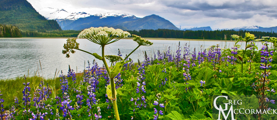
I am happy to be leading an all-day kayak trip with only 5 takers (hiking options are almost too good to pass up). We decide to circumnavigate Ruth Island in Thomas Bay. Thomas Bay is less than 15 miles northeast of Petersburg, Alaska.
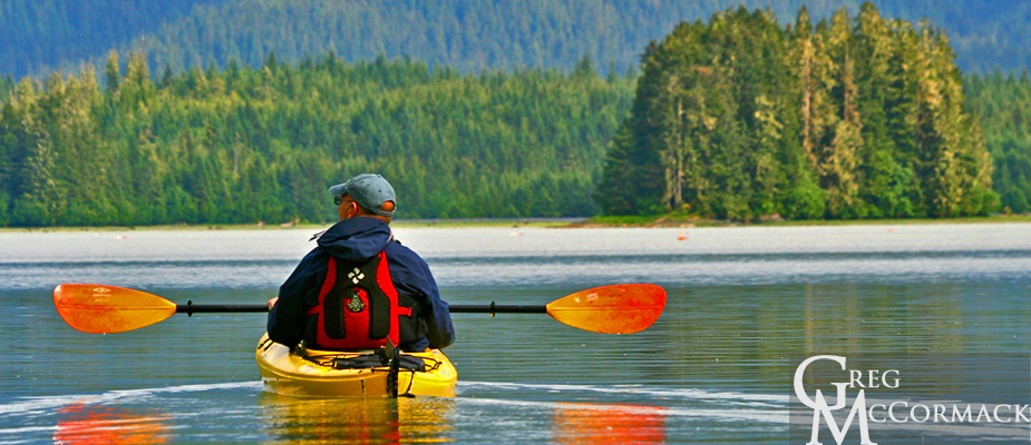
The paddling affords one with the most serene moments. For me, kayaking is a primal urge. It’s very representative of the ineffable nature of time. The present moment is occupied with movement. Your eyes and paddle strokes look toward a nearby or distant future. You get into a pace and try and maintain speed and direction toward a waypoint. Behind you a wake is left, ripples on an endless sea. Your path has been etched upon the canvass of your ever-evolving soul.
Indeed, a paddling trip in the Alaskan Wilderness is a most enriching experience that will fill you with a youthful vigor that will last a long time. Memories are made with each paddle stroke because all of our senses are engaged. Our blood is transporting carbohydrates and oxygen to our thirsty tissues. We are keen on finding the perfect stroke and pace. Is there any outdoor sport more ideal than kayaking?
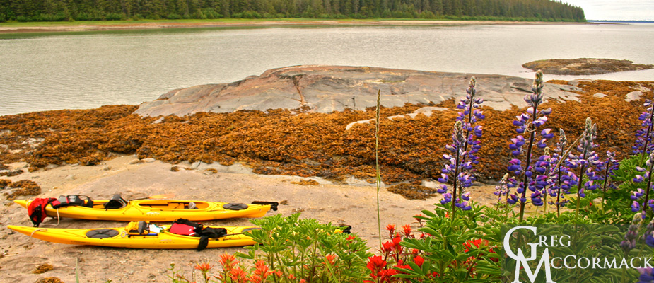
I give thanks for the Greenlander Inuit and the Aleuts for inventing the perfect craft 1000s’s of years ago.
We paddle in a counter-clockwise direction and have many highlights today.
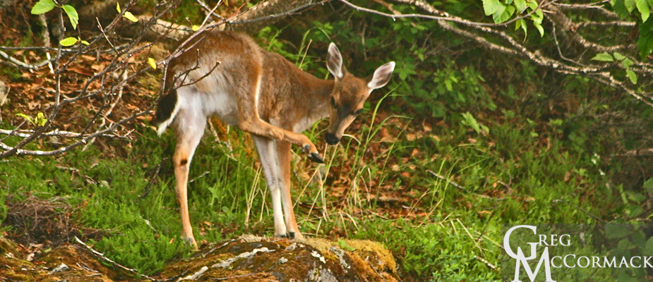
We see Sitka black-tailed deer…
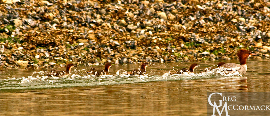
Not to mention a baby seal hauled out on rocks, moose scat, a bald eagles nest, family of merganser ducks, and fields of colorful flowers dancing in a breeze beneath a cerulean sky.
About half-way through our trip, I notice on my map a very narrow opening to what looks like a lake. It happens to be a marine lake that is accessible only at a high tide! However, we are not sure that we can make it through the very narrow passageway.
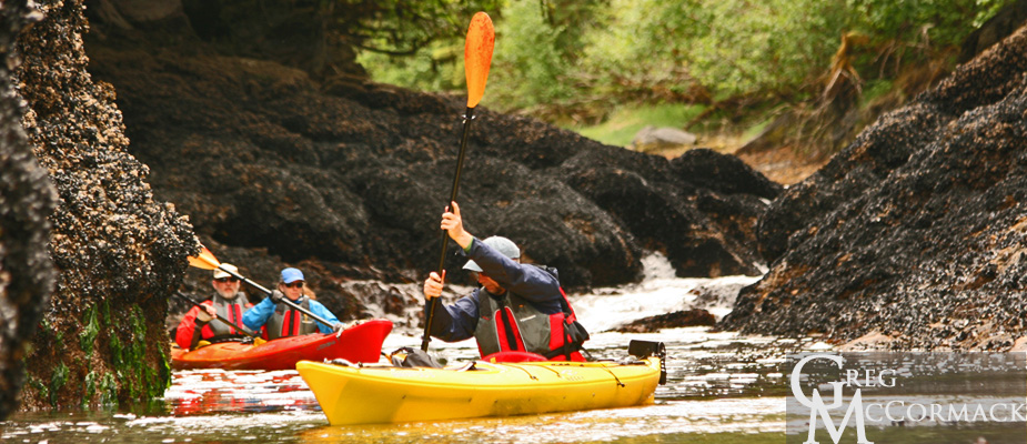
We paddle up and discover walls thick with mussels and a channel bottom covered with sea anemones.
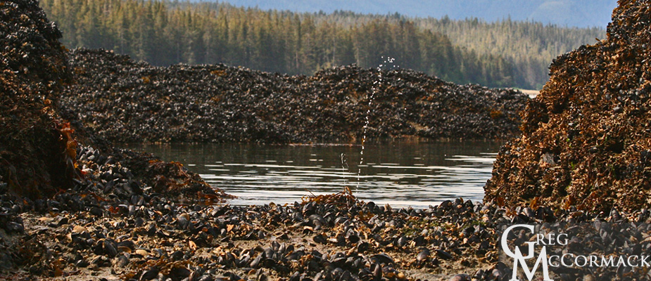
We park the kayaks on a mud beach nearby and are able to walk at the high-tide line to the 500 meter long lake. The rainforest around it is very lush.
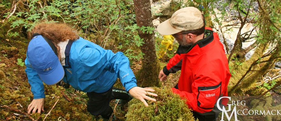
We name the lake “Silver” for our silver anniversary couple!
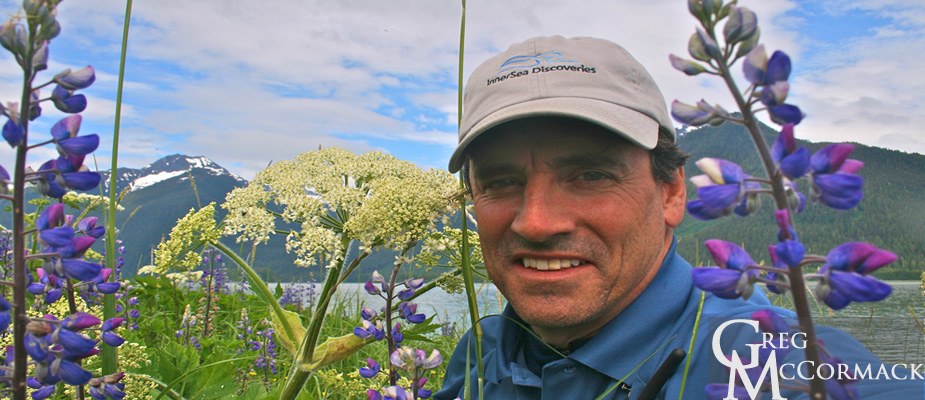
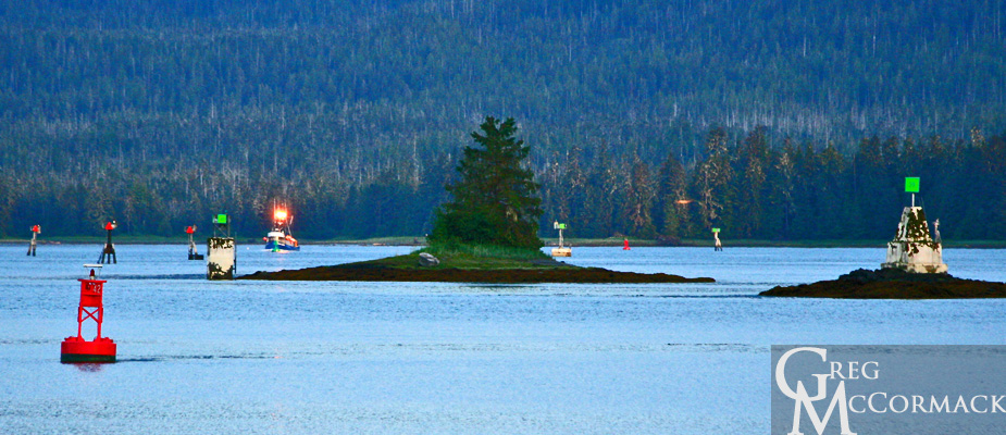
Back on the ship everyone is pumped-up from so many adventures to share with fellow shipmates. We lift anchor and motor past the town of Petersburg (population 3600) and enjoy the Summer Solstice sunset while transiting the Wrangell Narrows on our way to our anchorage near Wrangell.
Monday | June 20
August 8, 2011 by admin
Filed under InnerSea Discoveries
Thomas Bay and the Baird Glacier
Everyone is very excited for the opportunity to walk up to and on a glacier. First, however, guests have to endure a cold ride on small boats for 30 minutes up the glacial melt-water river to a steep bank drop-off. We disembark on basketball-sized boulders and make our way up to a sandy area where plants are recolonizing the deglaciated landscape.
I draw a large circle in the sand with a stick and receive some quizzical looks from my group of 18 hikers. I explain: “This large circle I’ve drawn is planet earth. I draw some lines north and south of the equator and semi-circles just below the North and South poles.”
I jam my stick into one of the dashed lines on my make-shift earth. “Tomorrow at 12 noon at this location 23-degrees north of the equator there will be no shadow cast. What is the name of this geographical position? Right you are, the Tropic of Cancer! What will happen at this circle just below the North Pole? Yes, exactly 24-hours of daylight…no sunset will be seen at the Arctic Circle at 66-degrees north latitude.”
“The long daylight is the reason the humpback whales swim from Hawaii and the gray whales from Mexico. With such long days in the northern hemisphere, plankton blooms are fed upon by krill and schooling fish which provides sustenance not only for whales but other marine mammals and seabirds as well.”
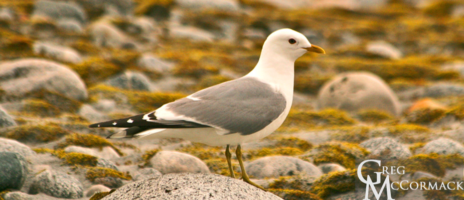
“The Arctic Tern flies up from Antarctica along with millions of migratory birds from central and south America. The long days provide just the right conditions for insects to multiply by the billions. They in turn allow our avian friends to raise not just one brood but two or three with the ability to feed young around-the-clock. If there is a term to describe Alaska and the Far North at this time of year it is “fecund”.”
Just a little bit higher from my scratchings-in-the-sand we are pleased to see so many gorgeous flowers blooming on the moss and lichen-covered rocks.
It’s about a mile walk past the recently colonized outwash plain. Small alders are the next seral stage of plant succession after the mosses and lichens. A few out-of-place sapling conifers such as the spruce and hemlock were seen. They are doomed because there is far too little nitrogen in the soil.
I mention that it will take more than a century from now before the alders give way to the conifers: “We’ll have to make reservations now and come back with our artificial hearts, brains and limbs to see the changes a century or two from now….”
Indeed, glacial rubble to temperate rainforest is a 200-year process from a recently deglaciated landscape. In the wake of the receding glaciers, forests advance and following the greening landscape are mammals, first the herbivores and then the carnivores.
I spot inter-stadial stumps in the terminal moraine. Otherwise known as “fossil wood” which John Muir described in his book “Travels in Alaska”. He actually burned it during his campfires with his Tlingit Indian guides and Presbitarian Missionary friend Samuel Hall Young. Carbon dating techniques in Glacier Bay National Park and Preserve put some of these non-decomposed stumps at 1000’s of years old…at least up until the point where they are exposed to air from erosion, after millennia buried in rubble.
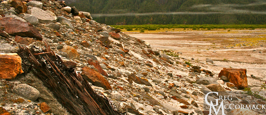
Our trek across the glacier is a favorite activity for our guests. There is the boot-sucking mud that grabs at our boots during our walk. Also, many features of the glacial surface and moraine just in front of the snout keeps you contemplating, for example: What forces are at work to produce such bizarre sand-covered pyramids? They stand several feet high and are covered with fine sand. Most seem to be along a transverse and sutured closed crevasse.
We head back elated from our days adventure for our small boat trip back to the mother ship.


